Morocco is one of those countries that everyone has heard of but few can place precisely on a map. It sits at the northwest corner of Africa, far closer to Europe than most people expect, with one coast on the Atlantic Ocean and another on the Mediterranean Sea. If you have ever wondered exactly where Morocco is, who its neighbours are, and how to get there, here is the full picture.
Where Morocco Is Located
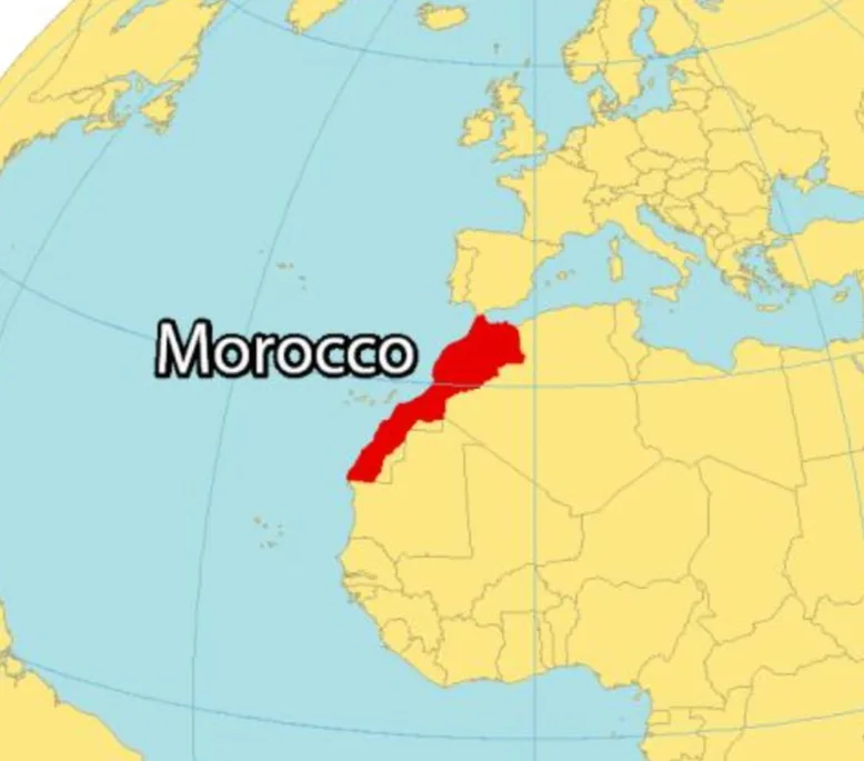
morocco in the map
Morocco lies in the far northwest of Africa, in the region known as the Maghreb. It is the only African country with coastlines on both the Atlantic Ocean and the Mediterranean Sea, which is part of what gives it such a varied climate and culture.
Its approximate coordinates are 31.8 degrees north and 7.1 degrees west. To picture it quickly, look at the bottom of Spain, then cross a thin strip of water heading south, and you have arrived.
At its narrowest point, the Strait of Gibraltar, only about 14 kilometres of sea separate Morocco from Spain. On a clear day you can stand on the beach in Tangier and watch the lights of Europe flicker on the far side of the water.
Morocco's Neighbours
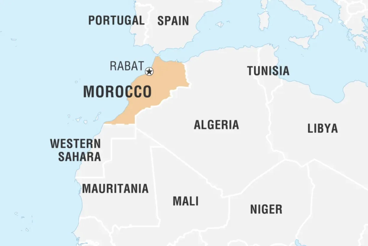
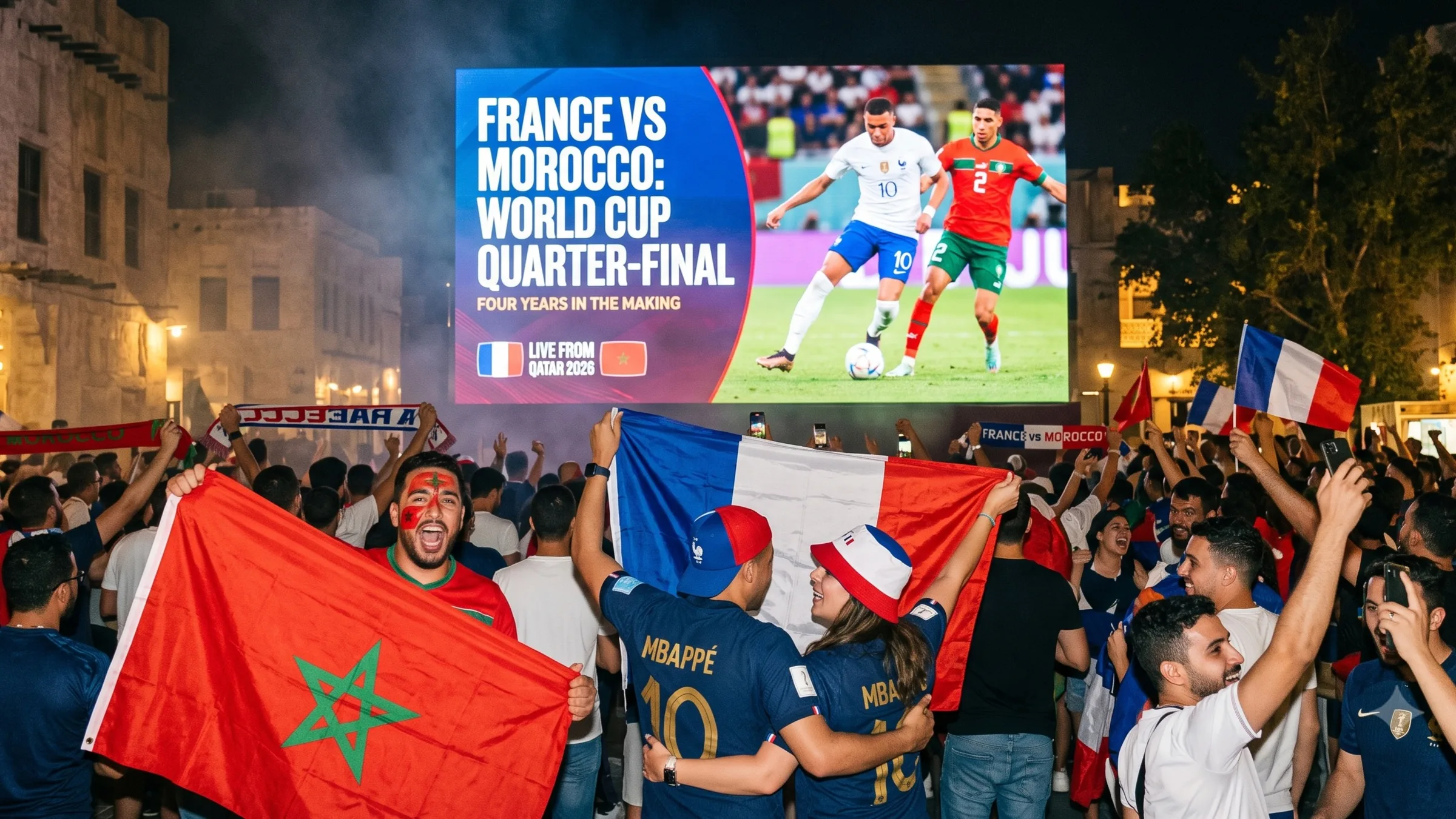
North Africa
Morocco shares its borders with a small number of neighbours, and a couple of them surprise people:
Morocco also wraps around two small Spanish cities on its northern coast, Ceuta and Melilla, which remain Spanish territory.
A Country of Many Landscapes
One of the reasons Morocco feels so much bigger than it looks is how fast the scenery changes. Within a single day of driving you can move from Atlantic surf beaches to snow on a mountain pass to the silence of the desert.
The Coast
The Atlantic coast runs for well over a thousand kilometres and is home to cities like Casablanca, Rabat, and the breezy surf town of Essaouira. The shorter Mediterranean coast in the north is calmer and warmer.
The Atlas Mountains
Three ranges of the Atlas cut diagonally across the country. The High Atlas holds Mount Toubkal, the tallest peak in North Africa at 4,167 metres, which stays snow covered for much of the year.
The Sahara
South and east of the mountains, the land opens into the Sahara. The golden dunes near Merzouga and Zagora are where most travellers go to spend a night under the stars.
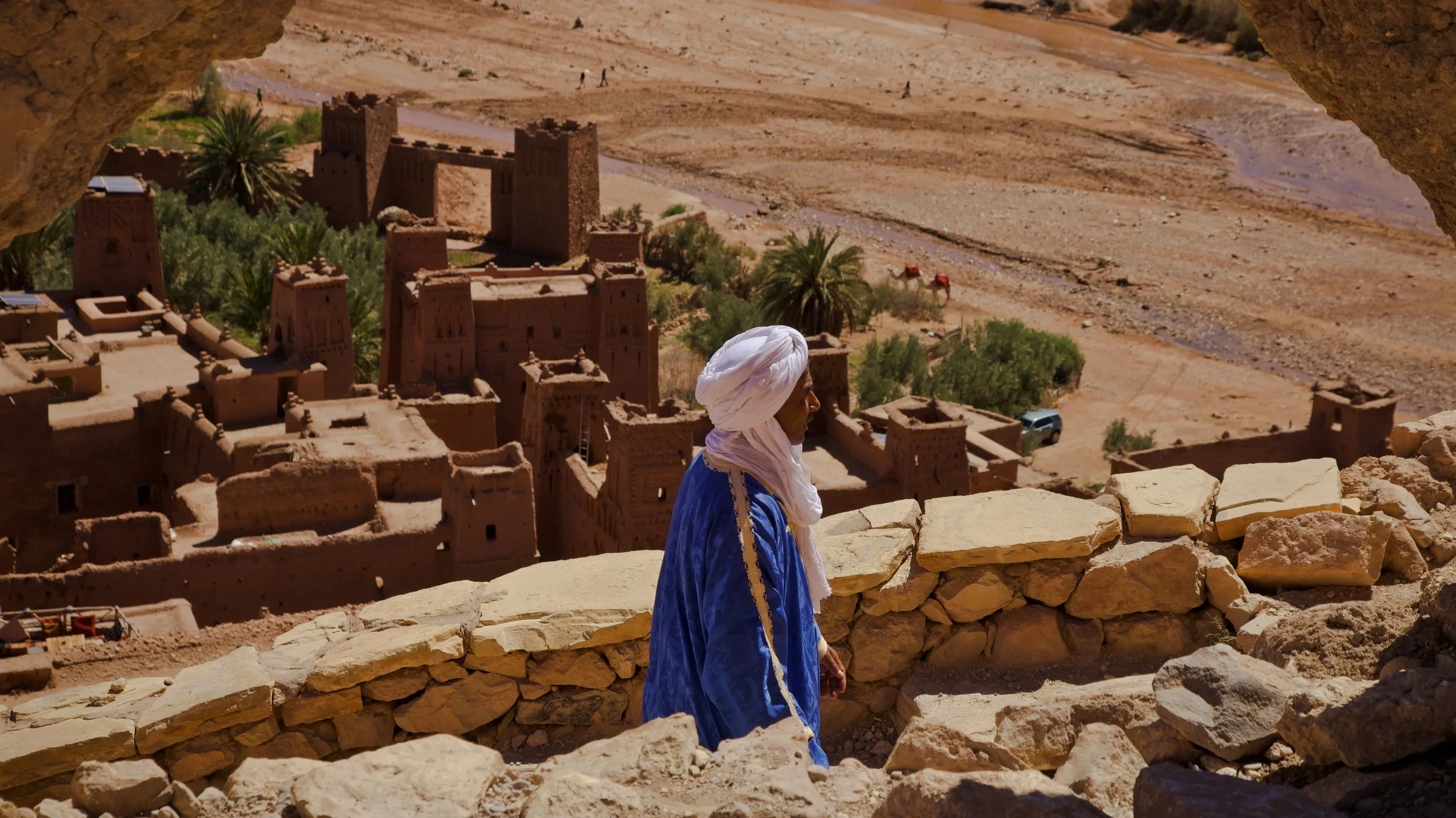
The Imperial Cities
Inland you find the famous cities of Marrakech, Fes, Meknes, and Rabat, each one a former capital with its own walled old town.
What Time Zone Is Morocco In
Morocco runs on GMT+1 for most of the year. In practice this means it is usually in step with Western Europe, and only an hour ahead of the United Kingdom in winter. The clocks pause briefly during the month of Ramadan, so it is worth checking the exact dates if you travel then.
How to Get to Morocco
Getting to Morocco is easier than its remote desert image suggests.
How Far Is Morocco From Major countries
The Best Way to Experience Morocco
Finding Morocco on a map is easy. Discovering the real Morocco is where the adventure begins.
This is a country that reveals itself through its people, its flavors, and its ever-changing landscapes. To truly understand it, you have to step beyond the sights and spend time with the locals who call it home, wandering the maze-like alleys of the Marrakech medina with a guide, rolling couscous in a family kitchen, or sharing stories under the stars with a desert host in the dunes.
When you're ready to go, explore the experiences led by local hosts across Morocco and start shaping a journey that goes far beyond the map.
Have you been to Morocco, or is it on your travel wishlist? We'd love to hear from you. Share your favorite memory, a question, or the one experience you're dreaming of in the comments below.